Tornadic Debris Signatures
It's all about that base

This is our monthly article for paid subscribers; it’s a deeper dive into a meteorological topic that's occasionally discussed in WWAT. Our regular free research articles will resume next week.
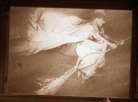
The key difference between a tornado and a funnel cloud is simple: a tornado is in contact with the ground, while a funnel cloud is not. Because funnel clouds remain suspended in the air, you can sometimes look up from directly beneath one and see something like this:

The reason it’s possible is that there is nothing on the ground trying to knock you over and kill you (yet). But once that funnel cloud has evolved into a full-fledged tornado, all bets are off.
Debris on Radar
Interestingly, large debris fields can be detected by weather radar. Known as tornadic debris signatures (TDSs), their detection is valuable to forecasters for two main reasons: First, they confirm that a funnel cloud has touched down and become a tornado. Second, they help estimate the tornado's strength. Both are critical for issuing warnings and coordinating with emergency services.
NWS radars can pick up TDSs thanks to the dual polarization (a.k.a. dual-pol) upgrades they received in 2011-2013. Dual-pol signals provide information on both the vertical and horizontal sizes of the reflected objects, allowing scientists to get a sense of the shape and size of what they are seeing on the radar.
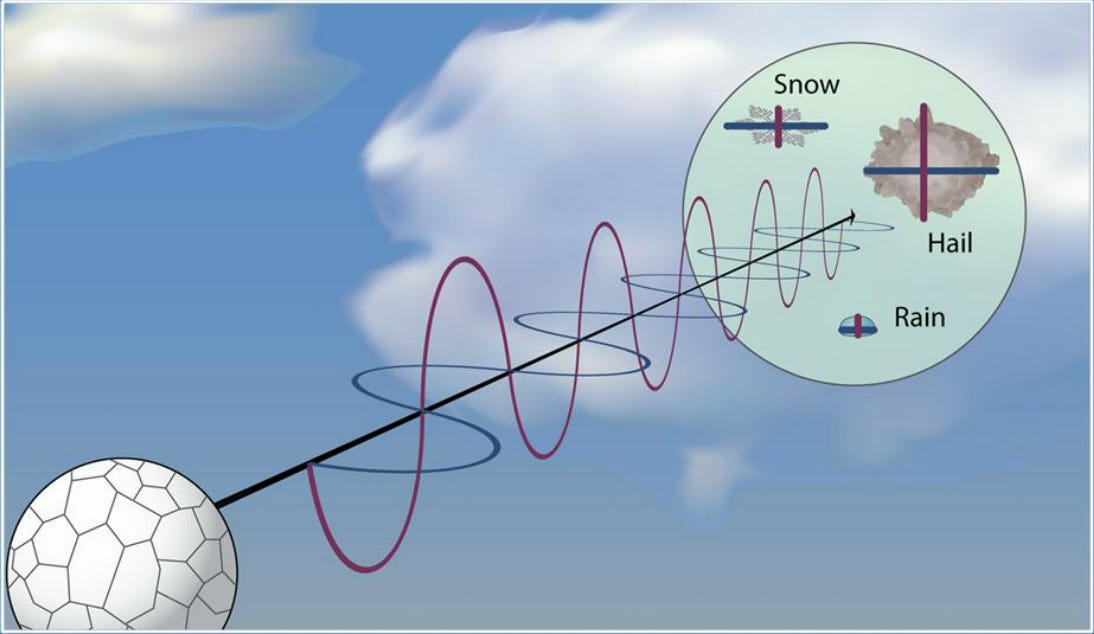
Dual-pol helps meteorologists identify the type of precipitation they are seeing on the radar, such as the difference between liquid and frozen precipitation. This upgrade has increased the accuracy of forecasts for hail in thunderstorms and the rain/snow line in winter weather. It also helps to distinguish precipitation from other natural objects like birds and insects.