


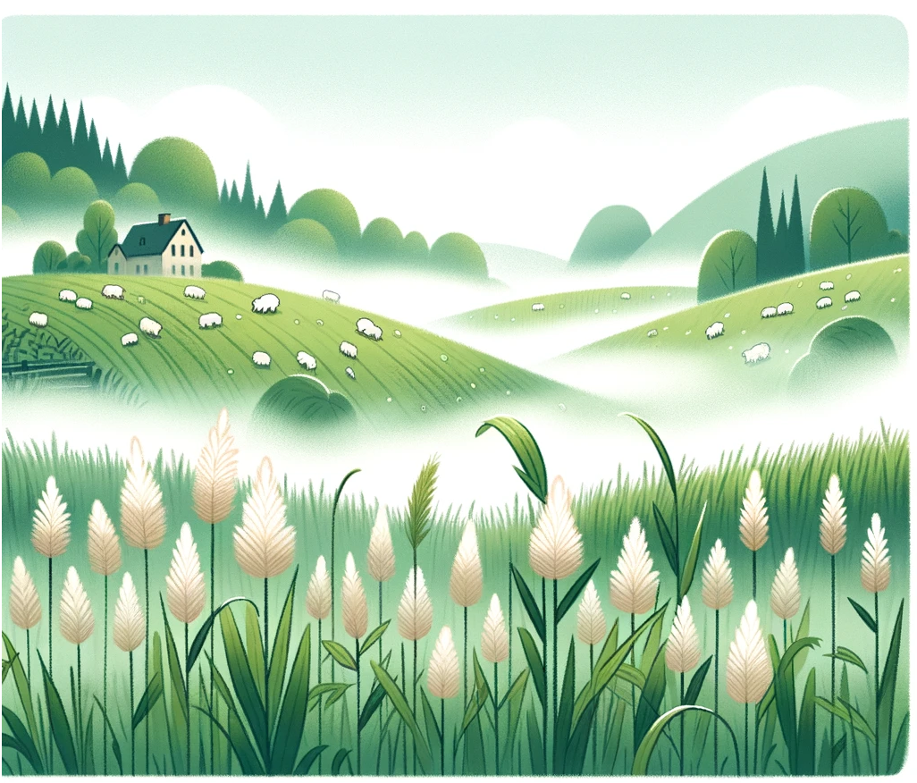
Cold Foggy Mountain
Cold Foggy Mountain
Predicting cold fog in the mountains

Fog can be beautiful and mysterious. As the weather goes, it’s as much of a sure thing for the influencer set as there can be. Yet driving in it can be more terrifying than receiving a letter from the IRS. Because of these safety implications, forecasting fog is an important research area in meteorology.

Fog is not a particularly complex phenomenon. When the air simply cannot contain any more water vapor (i.e., the dewpoint is at or very close to the air temperature), some of it condenses into water droplets. These droplets are so small that they mostly float instead of fall, creating a visible cloud on the ground. Sometimes those liquids can become supercooled, leading to the special case of ‘freezing fog.’
Fog is also simply a funny word. It sounds funny to say it. FOG. And it even looks funny when typed. FOG. The origins of the word are mysterious in their own right – possibly related to a type of Northern European grassland.
Since fog is basically a cloud, it is amorphous and always moving and changing. So computer models that try to predict fog need a very high level of spatial (space) and temporal (time) resolution so they can better take into account ongoing morphological change. Right now, most meteorological computer models do a poor job at predicting localized fog because of a lack of needed resolution.
Dr. Zhaoxia Pu and colleagues address this in a recent paper describing a project of intensive data collection around the cold fog phenomenon, which forms in temperatures just below freezing. They worked in Heber Valley, Utah - a high-altitude valley between mountains that also has reservoirs of water nearby. This source of cold moisture and relatively stable air makes it a prime location for cold fog in winter.

Like the sport of extreme ironing, ice fog can be both beautiful and dangerous.
(L - Anthony DeLorenzo from Whitehorse, Yukon, Canada, CC BY-SA 2.0, via Wikimedia Commons) (R - Jade Berman, CC BY-NC-SA 2.0, via Flickr.)
.jpg)
Dr. Pu and their team set up two main and nine satellite monitoring stations in the lower sections of the valley that experience significant episodes of cold fog. As part of the CFACT Field Campaign, the team collected data over nine 24-hour observing periods spread out over seven weeks. They also collected data during periods when fog was not expected - to provide a context around their more intensive observation periods.
They threw everything but the kitchen sink at it. This includes typical meteorological instruments to measure variables like temperature, relative humidity, wind speed, and more. But they also had many less common instruments with cool names such as nanobarometers, radiometers, fast-response fine-wire thermocouples, a Scanning Mobility Particle Sizer (SMPS), a GRIMM Aerosol Spectrometer, and a Cloud Condensation Nuclei (CCN) counter. Then there were my favorites - disdrometers, which are used to measure the size of water particles in the air. Together they took an exploratory approach to data analysis – which means you aren’t exactly sure what to expect, so you collect lots of data and analyze everything (as opposed to looking for a specific outcome).

Patchy fog over the U.S. Intermountain West during one of the observing runs as seen by NOAA GOES-R. (Zhaoxia Pu - Bulletin of the American Meteorological Society 104, 11; 10.1175/BAMS-D-22-0030.1)
Plans are useless, but planning is indispensable.[1]
But Mother Nature had other plans. When it came time to collect fog data, there wasn’t much fog (sad trombone). A drought in the region limited persistent deep fog events for them to study. Things like this happen when your research lab is outside and on a mountain. Happily, there were some periods of short-term fog and ice fog. Ice fog is exactly what it sounds like – fog made of very small ice crystals (20 – 100 μm in diameter). It is also somewhat rare, so getting data on these instances was quite valuable in itself.
Fog can have significant impacts on life and property. For example, it is the second most common cause of airplane mishaps and delays. So anything we can do to predict better how and when fog forms is important. The main benefit of this particular research is the creation of a rich corpus of data at very high temporal and spatial resolution. It is now being used to test and adjust various weather models to predict cold-fog conditions better. Expect more research papers on that in the coming years.
Next week: Hurricane Evacuation Rates
More info:
Press Release: https://attheu.utah.edu/science-technology/unraveling-the-mysteries-of-fog-in-complex-terrain/
Original Journal Article: https://journals.ametsoc.org/view/journals/bams/104/11/BAMS-D-22-0030.1.xml
We acknowledge Dr. Chad Kauffman for additional contributions.
[1] Commonly attributed to Dwight D. Eisenhower: https://quoteinvestigator.com/2017/11/18/planning/